About Tornado Alley & Map
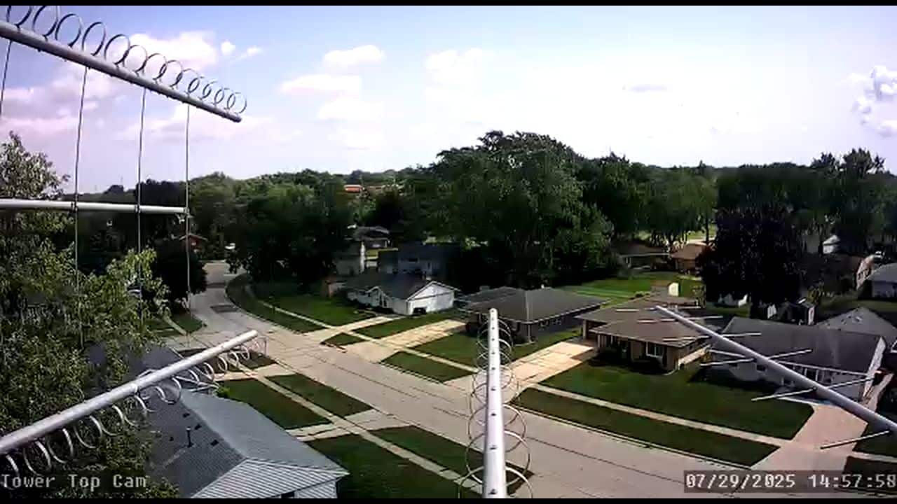
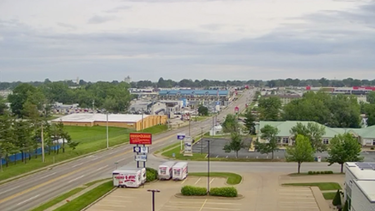
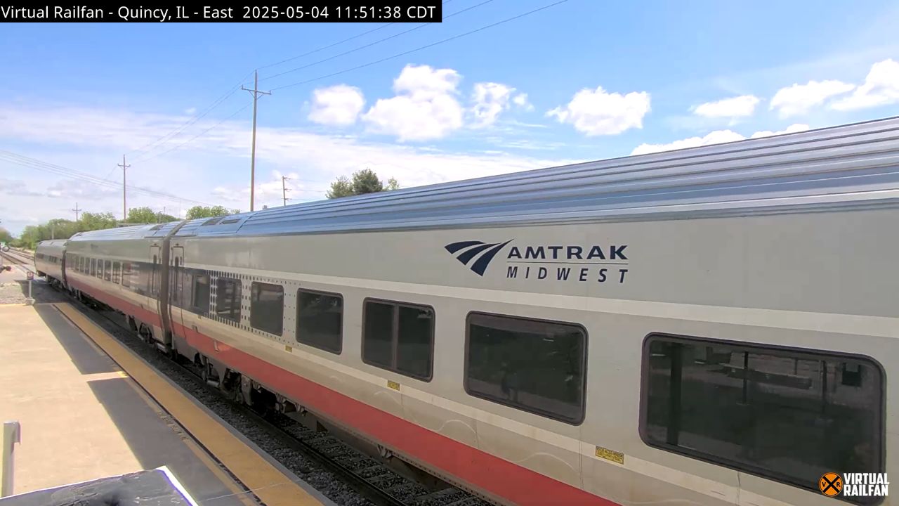
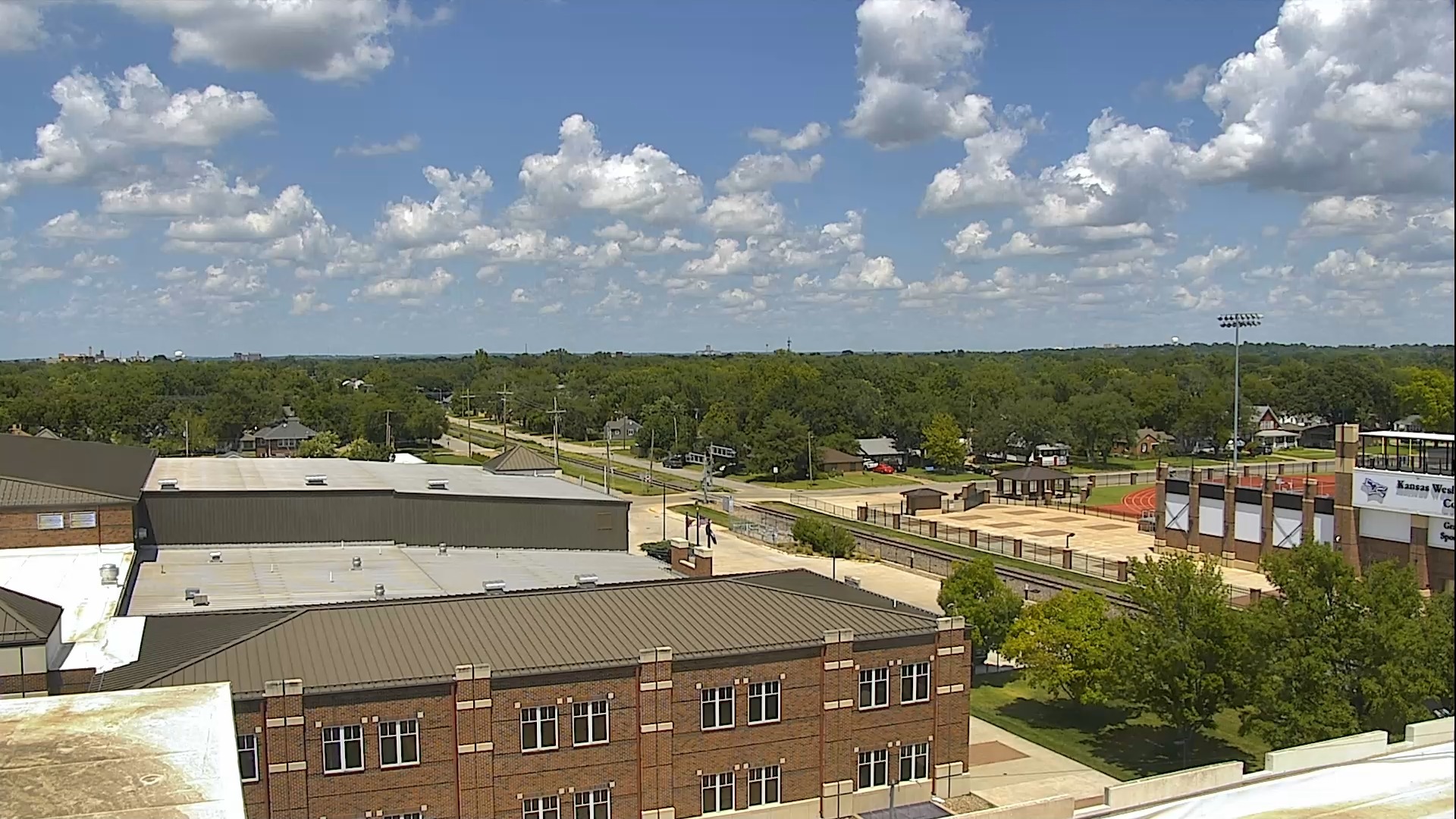
Watch live HD webcams in Tornado Alley by clicking on the state links on this map. Texas, Oklahoma, Kansas, Nebraska, South Dakota, Indiana, Missouri, Iowa, Illinois, and Ohio are officially the states that make up Tornado Alley. Although it is not an official part of TA, Florida has more tornadoes than any other state in the USA.
Most tornadoes happen in the lengthy tornado season found within the Great Plains region from March until June – the infamous “tornado alley.” In this area, storms are caused when dry cold air moving south from Canada meets warm moist air travelling north from the Gulf of Mexico. Find out more here.
What is Tornado Alley
This area encompasses parts of several states, including Texas, Oklahoma, Kansas, Nebraska, and South Dakota, among others. The geographical layout of Tornado Alley, characterized by flat plains and a unique combination of warm, moist air from the Gulf of Mexico and cold, dry air from Canada, creates ideal conditions for the formation of severe thunderstorms and tornadoes.
A detailed map of Tornado Alley highlights the specific areas that experience the highest frequency of tornado activity, providing valuable information for residents and meteorologists alike.
The Tornado Alley map serves as a crucial tool for understanding the dynamics of tornado occurrences in this region. It illustrates not only the boundaries of Tornado Alley but also the historical data regarding tornado paths, intensity, and frequency.
By analyzing this information, researchers can identify patterns and trends that may help predict future tornado events. Additionally, the map can assist in emergency preparedness efforts, allowing communities to develop effective response strategies and safety measures tailored to the unique risks associated with living in such a tornado-prone area.
In recent years, advancements in technology and meteorological science have improved the accuracy of tornado forecasting and tracking. Enhanced radar systems and satellite imagery have made it possible to monitor storm systems in real-time. This provides critical information that can be reflected on the Tornado Alley map.
This ongoing evolution in data collection and analysis not only aids in immediate response efforts during tornado events but also contributes to long-term research aimed at understanding the underlying causes of tornado formation. As a result, the Tornado Alley map continues to be an essential resource for both the scientific community and the general public, fostering greater awareness and preparedness in the face of these powerful natural phenomena.
